Horseback Riding around Carson Pass
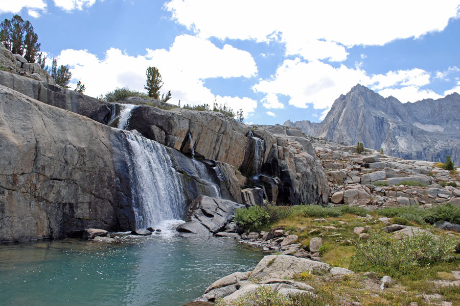
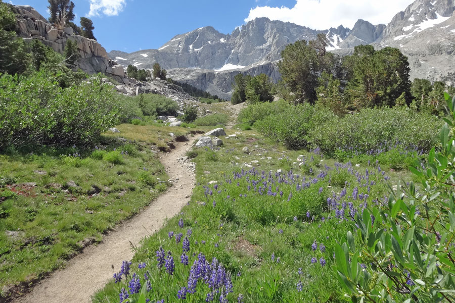
As in most places in the Sierra, Carson Pass has a number of great trails that make enjoyable rides. We have suggested a few here, but many of the day hikes listed on Up and Over Carson Pass would make excellent rides along with many of the backpacking ideas.
Although there are no specially designated Forest Service equestrian camps found on Carson Pass, Eldordo National Forest lists a number of recommended back country horse camping areas and trails leading to them: Horse Camping Areas. Some are along Highway 50, but a majority have trailheads on Highway 88, including Allen Camp, Granite Lake, Beebe Lake, Emigrant Lake, Cole Creek, Evergreen, Grouse Lake, Long Lake, Lost Cabin Mine, Munson Meadow, Shriner Meadow, Tanglefoot, Black Rock Lake, and Horse Canyon.
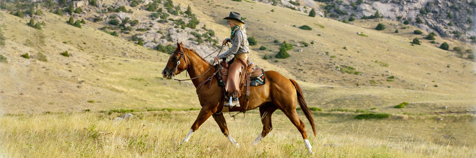
Kirkwood Sierra Outfitters, shown below, offers day trail rides and also leads pack trips into the back country. They offer a variety of back country services from simple dunnage trips to full service outings.
Carson Pass to Echo Summit
This 13-mile ride takes you over gentle country from near Carson Pass via the Pacific Crest Trail to Echo Summit. Most of the route is through forested country with elevation changes of no more than 500 hundred feet at a time until the final descent to Echo Summit. Five miles out on the trail you pass Showers Lake.
A wonderful alternative route is to take the Meiss Country turnoff after 3 miles and follow the gradually descending trail past Round Lake and out through Big Meadow to the trailhead on Luther Pass (Highway 89). It is only an 8-mile ride. There are a couple of short uphill sections, but overall the trail drops from a high of 8,800 feet to 7,300 feet.
Parking at the trailhead is at the Meiss Trailhead on the north side of Highway 88 just west of Carson Pass. Parking requires a $5 daily pass or a $20 annual pass. Learn details from the Carson Pass Information Center on the summit of Carson Pass.
Ride the Carson River Emigrant Trail
Start at Tragedy Spring off Highway 88 and head directly south on a dirt road that leads to Porthole Gap (1.5 miles). This is the general route of the Carson River Emigrant Trail. From the gap follow a dirt road toward Mud Lake. Just before the lake at the junction take the left road which soon turns east on the emigrant trail. You can follow the trail as far as you like, 12 miles total to the top of West Pass or 16 miles on to Caples Lake and back out to the highway again.
The route is mostly on a 4-wheel dirt road along Hungalelti Ridge (formerly Squaw Ridge). As you gain altitude and rise above timber line, you are rewarded with wide vistas of the surrounding area. Be sure to carry water.
Points of Interest: At mile 7, the Allen Ranch, circumvent private property. Mile 7 is the site of the early Plasse Trading Post. About
mile 10.5 you will pass a Boy Scout plaque.
For a detailed guide to this section of the trail, pick up a copy of Frank Tortorich, Jr.'s Hiking the Gold Rush Trail, a
Hiking Guide over West Pass, Caples Lake to Tragedy Spring, 2004. The book is available from The Oregon-California Trails Association.
Indian Valley Ride-About
The Indian Valley area near Blue Lakes offers miles of easy riding over gentle terrain dotted with lakes. Begin at the trailhead one mile east of Lower Blue Lake and head out southbound on the Pacific Crest Trail, passing Tamarack Lake, Sunset lakes, and Wet Meadow Reservoir.
After 4 miles, turn left on a side trail and loop around, crossing the Pacific Crest Trail near Wet Meadow Reservoir and following dirt roads around the south side of the reservoir. There you can pick up a trail that leads 3 miles south to an overlook of the Mokelumne River and the Ebbetts Pass highway. Retrace you route to near Summit Lake and head left through Little Indian Valley and then Tamarack Lake again. If you ride down the east side of the lake you come to the PCT once more and can follow it back to your trailhead. See our map of the area at Blue Lakes.
With all your wanderings you can easily cover 20 miles here. Bring a good map and perhaps a GPS because with the spiderweb of trails and roads, it is easy to become disoriented.
Forgotten Flat Loop
Enjoy a 9.5-mile loop through several quiet valleys north of Silver Lake. Begin your ride at Martin Meadow on Highway 88 between Silver Lake and Caples Lake. Ride north through forested country, descending for 2 miles to a fork in the trail. Choose left or right, it makes little difference.
To the left the trail drops to the Silver Fork of the American River and passes downstream through Forgotten Flat. After about 4 miles the trail crosses Caples Creek. Turn upstream (right) through Jack Schneider Meadow. After 1 mile turn right, cross Caples Creek again and begin the climb back to your original trail and back to Martin Meadow.
Overall the 9.5-mile ride descends 1,600 feet and then climbs back the same amount.
Trail Rides and Pack Stations
Kirkwood Sierra Outfitters
(209) 258-7433 Kirkwood Sierra Outfitters
Kirkwood Sierra Outfitters provides half day or longer trail rides from Silver Lake to such scenic places as Hidden Lake, Granite Lake, and Cole Creek Lake.
Kirkwood Sierra Outfitters also features wilderness pack trips. Owners Jim and Karen Hagen have years of horseback riding and mountain travel and camping experience. They know the best trails and camping spots in the Mokelumne Wilderness and El Dorado National Forest and can help you plan a rewarding wilderness experience.
TOP
Ebbetts Pass
Ebbetts Pass Scenic Byway (Highway 4) to the south has more excellent riding trails. The Wolf Creek area on the east side of the pass makes a good starting place, as do Highland Lakes, Spicer Meadow Reservoir, and Lake Alpine. Learn more on Ebbetts Pass Adventures.
Echo Summit
A short distance to the north, Echo Summit (Highway 50), has a number of equestrian camps and trails in the beautiful
Crystal Basin.
Learn all about horseback riding opportunities on
Discover Echo Summit.
Sonora Pass
Sonora Pass (Highway 108) is a favorite destination for many riders. Kennedy Meadows is known as one the most horse friendly trailheads in the Sierra. Horse camps are found on the Clark Fork, near Pinecrest, and out toward Herring Creek. To learn more, visit Sonora Pass Vacations.